
Raritan Township Neighbors by Parcel
For Raritan Township neighbors, the closest public starting point is an address-keyed parcel trail. The Raritan Township SDL portal can search by full or partial address, owner, block and lot, permit number, or control number after a free account is created. Hunterdon County GIS supplies the map position and available layer attributes. New Jersey Property Explorer supplies a yearly tax-list snapshot. The Hunterdon County Clerk then holds the recorded transfer trail. Each source answers a narrower question, so compare them instead of treating one screen as a complete account of a Raritan Township block.
| Source | What It Shows About a Block | Access |
|---|---|---|
| Hunterdon County GIS | Raritan Township address-to-parcel location, parcel geometry, available layers, easements, and district geography | Public address-based map |
| Raritan Township SDL | Current owner-oriented parcel data and linked permit, complaint, violation, or certificate routes | Free account required |
| NJ Property Explorer | Annual owner and location snapshot, block, lot, assessed values, prior taxes, and classification | Public map query |
| Hunterdon County Clerk | Recorded owners, transfer parties, recording details, and legal descriptions | Search Room, copies, or request |
| Hunterdon voter-list request | Active voters by municipality and election district, or other listed report types | County form with statutory use limits |
An owner field is not an occupancy field. A Raritan Township deed, SDL result, or annual tax list may point to the person responsible for a parcel, not every adult or renter at the situs address. The situs is the physical property location. A mailing address, when shown on an underlying record, is only a correspondence location. It should not be combined with the parcel address or used to make a claim about a household on the block.
Map a Raritan Township Block First
The Hunterdon County GIS viewer instructions describe a simple map sequence: type an address until it appears in the selection list, select it to zoom, and click the parcel. The pop-up can move through available attributes with layer arrows. The County also provides a separate address-searchable election, legislative, and congressional district application. That geography is useful when a block crosses an election-district line or a postal label is misleading.
The GIS viewer is not a certified deed and its help page does not document every possible attribute, owner field, or sale field. Treat the map as the Raritan Township location key. For a current tax-list comparison, use the Township source or the state explorer, and use the Clerk for the recorded instrument. This preserves the difference between map geometry, annual assessment data, and legal title.
Hunterdon County’s GIS help page shows the address search and parcel-click workflow used for a Raritan Township block check.
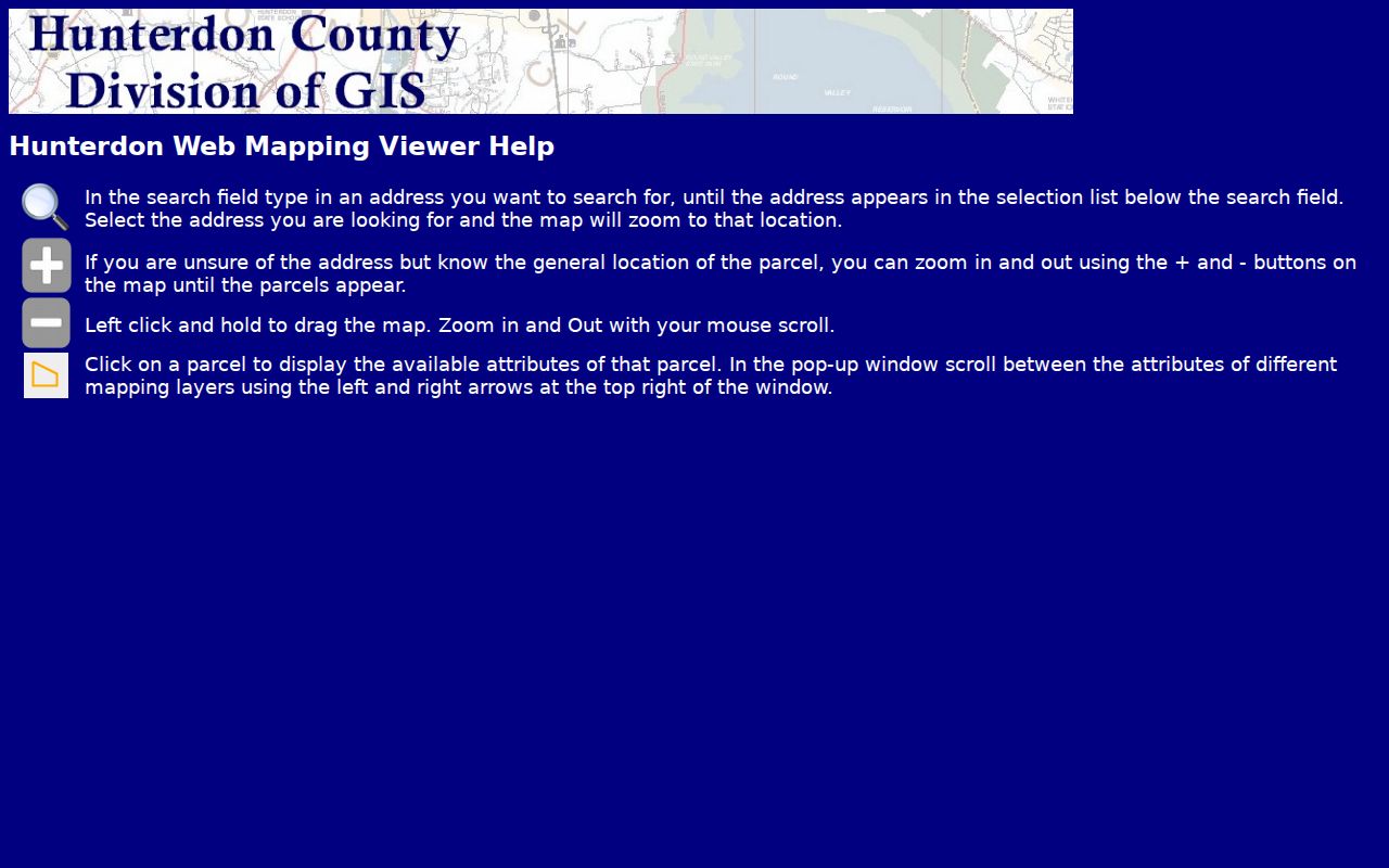
Its layer arrows matter because a single click can expose different mapping layers, not a complete record of everyone connected to the block.
Raritan Township Block Record Trail
A practical block check works from one physical address outward. Keep block and lot with each result. They are the tax-map identifiers that help distinguish similarly named roads and adjacent subdivisions. The County Clerk’s recorded description may use a lot, block, metes-and-bounds language, or a plat reference. A plat is a recorded map that can help when a larger parcel was split.
- Enter the Raritan Township address in SDL, then note the current parcel, owner-oriented result, and block and lot.
- Use the address in Hunterdon GIS, select the map result, and click the target parcel and immediately adjoining parcels.
- Compare the Raritan Township parcels with the annual state tax snapshot, keeping in mind that January-filed data can lag after a transfer.
- For a transfer question, search the owner as grantee in the County Clerk’s index and match the legal description before following the prior grantor.
This is address to GIS to adjacent parcels to SDL or tax data to deed research. It is a property trail, not a method for confirming occupants. For a full named-road record trail, use the Raritan Township street directory rather than extending a one-block check into a claim about every home on the street.
Compare Raritan Township Ownership
New Jersey Property Explorer describes its parcel result as a January annual tax-list collection. It includes location and owner information, block and lot, land and building assessed values, prior-year taxes, and property classification. It is helpful for comparing how nearby parcels are identified in the same annual filing. It is not a live deed database, and ownership changes after the filing may not appear there yet.
The Raritan Township Assessor and SDL route remain the local comparison. The Township’s 2026 notice also confirms that the annual tax list was available for inspection in the Raritan Township Assessor’s Office at One Municipal Drive during its stated office hours. If a date, boundary, or owner name conflicts across sources, confirm it with the relevant custodian instead of choosing the result that seems most complete.
The NJ Property Explorer documents the annual parcel fields used when comparing nearby Raritan Township properties.
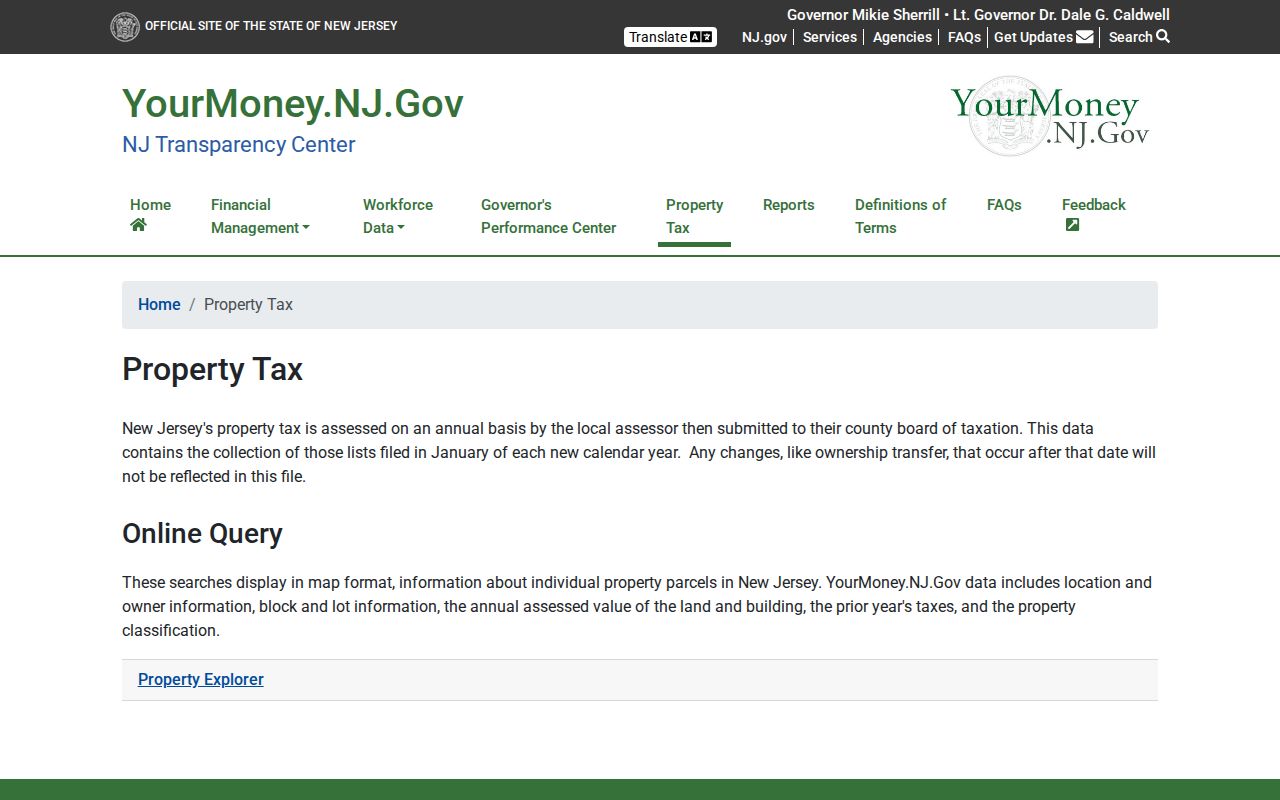
The annual snapshot can corroborate a block and lot, but it does not establish the current occupants of a parcel.
Note: A post-January sale can produce a temporary difference between a tax-list result and a more recent recorded transfer.
Raritan Township Neighbors by District
Use the County’s address-based election-district map before assuming that Raritan Township homes on a block share a district. The official individual voter-status route is for a person checking that person’s own registration. It is not described as a public street roll, and it should not be represented as one. Voter status also has limits: an inactive voter is a voter whose address has come into question, and that status does not prove a move or reveal a ballot choice.
For a documented records request, the Hunterdon Board of Elections form allows municipality and district choices, including RARITAN TWP, and lists registered voters, limited election history, registration summaries, and mail-in-related report options. Email delivery is listed as free, while printed lists are listed at $0.05 per page. The form requires requester and signature information and expressly bars commercial or charitable solicitation under N.J.S.A. 19:31-18.1C. No request form authorizes harassment, stalking, or inference about a private household.
Community Routes for Raritan Township Blocks
Public community resources can help identify institutions around a parcel, but they are not residential rosters. The Township’s Community Links page is an official umbrella for the Police Department, Fire Company, Raritan Flemington Rescue Squad, County Library, County government, and related resources. It does not publish a neighborhood-association directory. Research found no official current neighborhood-association roster or block directory for Raritan Township, so no membership or contact claim should be inferred from it.
Township Community Links
Raritan Township Community Links is the official starting point for public safety, library, county, and service resources.
Hunterdon Chamber Directory
Hunterdon County Chamber’s directory supports category, keyword, and ZIP-oriented business and civic discovery.
The Chamber can help identify local commercial or civic organizations near a block. It is business-focused and not evidence that a listed person lives at that address. The local Historical Society also holds civic-group, business, county, and municipal material, but its archive holdings do not replace a current association roster.
The Hunterdon County Chamber directory provides the community and business discovery controls described here.
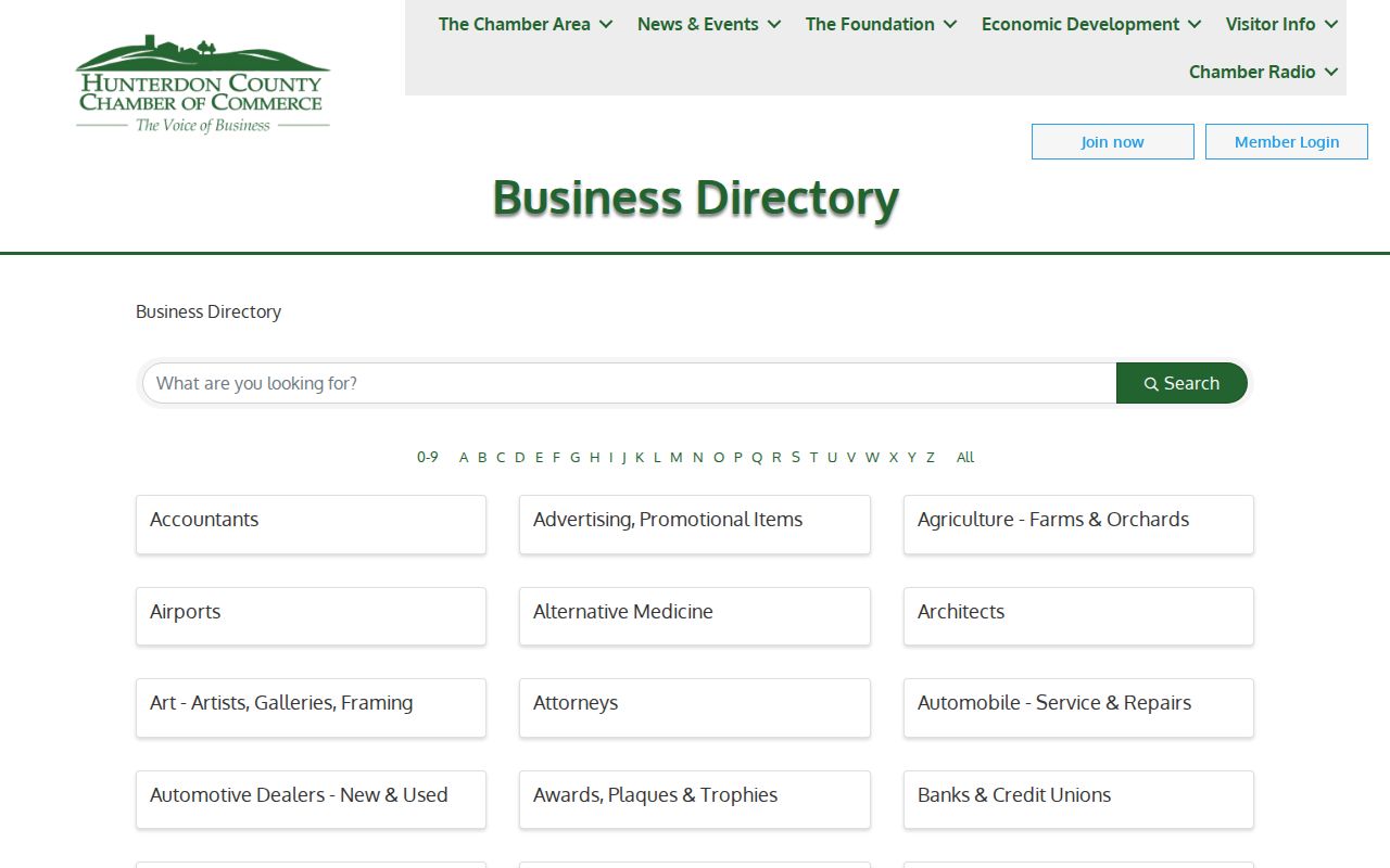
Use its category, keyword, and ZIP controls to find institutions, while keeping business listings separate from evidence of residence.
Postal Labels Around a Raritan Township Block
Raritan Township is a large township centered around the Flemington area, not a compact city. Postal labels on a nearby address can say Flemington, Ringoes, Stockton, or Pittstown while the municipal parcel remains in Raritan Township. That distinction can matter on a block edge. Use the United States Postal Service to normalize a delivery address, then use SDL, the tax map, or County GIS to establish the municipal parcel.
A ZIP result does not confirm that a person lives at a Raritan Township address. The research also does not establish an official complete table of every ZIP intersecting the Township. Postal geography is a useful address step, but it should never replace the Township and block-and-lot identifiers used in the parcel and deed records.
Note: A Flemington mailing label can cover a Township parcel and does not by itself place that parcel in Flemington Borough.
Raritan Township Sources Compared
Official records and commercial block-lookup tools serve different purposes. The official Raritan Township sources name the custodian, date, and record type, but they still may lag, omit protected data, or show an owner rather than an occupant. Commercial people-finder tools often combine data from many sources. Their claims should be checked against the actual custodian and their listings should never be treated as a verified household roll.
| Source category | Useful for | Important limit |
|---|---|---|
| Official parcel, tax, and deed records | Parcel identity, ownership history, legal description, and recorded transfer context | May be annual, owner-focused, or subject to redaction and access limits |
| Official election records | A self-status route or a county request with municipality and district parameters | Use is restricted, and the records do not show ballot choices |
| Commercial people-finder category | A possible lead that needs independent checking | May be stale, merged, incomplete, or wrong and is not a custodian record |
Limits on Raritan Township Neighbor Records
Public availability has firm boundaries. New Jersey vital records are not a public online name-search database. Driver and MVC personal information is constrained by the federal Driver’s Privacy Protection Act. Court material can be sealed or expunged, and the State Police identifies expungement under N.J.S.A. 2C:52-1 et seq. Those limits remain even when an address appears in a Raritan Township parcel record. Utility data, delivery information, and unlisted household details are not made public by the sources used here.
Daniel’s Law can require review of requests involving protected address information. The Township’s OPRA guidance identifies a 14-business-day response exception for Daniel’s Law review. New Jersey’s Address Confidentiality Program, also called Safe at Home, is intended to keep a participant’s actual residential address from ordinary public disclosure. Current program details were not confirmed in the research. Do not try to overcome either protection by combining map layers, tax results, or other records.
Lawful use. Raritan Township block research is for personal, lawful purposes such as understanding a parcel or community context. Never use these records to stalk, harass, intimidate, threaten, or harm anyone.