
Tracing a Raritan Township Street
A Raritan Township street search is a parcel chain, not a list of names. Begin with the physical address or a distinctive part of the road name in SDL. Save the block and lot, then compare the result with the Township tax map and the County GIS parcel. The owner listed in a tax system is a useful start, but it may differ from the present occupant. Once the parcel is stable, the County Clerk’s grantor-grantee records can connect it to recorded transfers. Election and historical sources are separate layers with distinct access rules.
- Run the address, partial street, owner, or block and lot through the Township SDL route.
- Select the address in Hunterdon GIS and click the parcel to inspect available map layers.
- Compare the annual state tax-list owner, location, block, lot, values, and classification.
- Use the current owner as grantee in the County Clerk Search Room, matching legal description and recording date.
- For a defined municipal permit, complaint, violation, or certificate not displayed, request the identified record from the Township.
Raritan Township is in Hunterdon County. Keep it distinct from Raritan Borough in Somerset County when entering a municipality or interpreting a postal label.
Raritan Township SDL by Address
The Township’s OPRA page describes SDL as the property and permit route. It requires a free account with a valid email and is described as real-time. Its documented search modes are full or partial address, owner name, block and lot, permit number, and control number. SDL covers basic tax-lot and owner information as well as building, planning, and zoning permits, complaints, violations, and certificates. A partial street search can be useful where the house number is unknown, but the public page does not document a complete permit-result layout.
| Raritan SDL control | Type | Use in a street search |
|---|---|---|
| Full or partial address | Text | Find a parcel or reduce a road to likely matches |
| Owner name | Text | Find an owner-oriented property result |
| Block and lot | Parcel key | Match a tax map and legal description |
| Permit number | Text | Reach a known permit record |
| Control number | Text | Use an alternate municipal record key |
The official SDL and OPRA page is the source for those documented controls. Do not assume the public page proves a permit applicant lives at the parcel.
Note: SDL’s public description identifies useful entry fields, but it does not show a full permit form or a sample search result.
Raritan Township Streets in GIS
Hunterdon GIS supplies the street-level geographic check. Type an address until it appears in the selection list, choose it to zoom to the location, then click the parcel. The viewer’s popup can show different layer attributes, moved with layer arrows. County GIS identifies parcel, easement, and mapping context and provides a separate app for election, legislative, and congressional districts. It can help locate neighboring parcels, but the help page does not document every parcel field or a complete owner record.
Use the Hunterdon GIS viewer instructions before relying on the map selection.
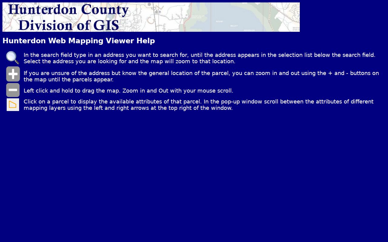
The screenshot shows the address-to-parcel workflow that anchors a street directory search to mapped land rather than a postal label.
Note: The GIS help page describes available navigation steps, not a complete list of parcel fields or a certified title record.
Raritan Township Street Record Terms
Street records use several terms that should stay separate. A parcel is the mapped tract of land. Its situs address is the physical location. A mailing address is where tax correspondence goes, not necessarily the parcel or the owner’s home. A plat is a recorded subdivision map. The legal description is the lot-and-block or metes-and-bounds wording in a deed. These details bridge a split tract, road update, or changed address more reliably than a street name alone.
- Block and lot
- The New Jersey tax-map key used to identify a parcel.
- Situs address
- The physical address of the parcel, distinct from a tax mailing address.
- Metes and bounds
- A legal description using directions, distances, and adjoining features.
- Grantor and grantee
- The party conveying land and the party receiving it in a recorded transfer.
Township Engineering maintains the official Street Map and tax-assessment maps. It also reviews easements, rights-of-way, and metes-and-bounds descriptions before recording. Those are the better municipal records when a road or lot relationship is unclear.
Raritan Township Street Records
Address-keyed systems describe different parts of a road. SDL is the current municipal parcel and permit layer. The state property system is an annual tax-list snapshot. GIS provides geometry and layers. Clerk records document legal transfers. The Board of Elections has a separate, restricted voter-file channel. A street directory search gains accuracy when it reports what each system actually shows rather than claiming they all list residents.
| Address record | Keeper | Street-level value | Access |
|---|---|---|---|
| SDL parcel and permit record | Raritan Township | Owner-oriented tax lot, address, permits, complaints, violations, certificates | Free account portal |
| Annual tax list | NJ Treasury / Assessor | Owner, location, block, lot, assessed values, prior taxes, classification | Map query |
| GIS parcel | Hunterdon County GIS | Parcel geometry, layers, easements, district context | Public viewer |
| Grantor-grantee record | Hunterdon County Clerk | Parties, legal description, instrument, recording date | Search Room and request |
| Voter-file request | Hunterdon Board of Elections | Restricted municipality and district outputs | Certified County form |
The state’s Property Explorer says its data are submitted in January. A later transfer can therefore lag in that display.
Raritan Township Permit and Map Evidence
Municipal permits and land-use files can connect a project to a parcel, but they should be read as project records. SDL includes building, planning, and zoning permits, complaints, violations, and certificates. Planning and Zoning maintains land-use guidance. Engineering maintains the official tax and street maps, reviews easements and rights-of-way, and issues driveway and street-opening permits. The Tax Collector holds bills, payment, delinquency, and tax-sale history. Each record is a narrow answer to an address question.
When SDL does not reveal the defined record needed, use OPRA for a named record type and date range. The Municipal Clerk is the custodian. New Jersey OPRA, N.J.S.A. 47:1A-1 et seq., does not obligate the Clerk to research a whole street or construct a new address list. Ordinary available-record responses are due as soon as possible and no later than seven business days.
Note: A permit can identify an owner, applicant, or contractor connected to a project, but it is not proof that person occupies the address.
Raritan Township Deed Chain
The Hunterdon County Clerk is the legal-record layer for a Raritan Township street directory. The office records deeds, mortgages, releases, liens, maps, building contracts, trade names, and other instruments. It says county records from 1785 to date are recorded and available upon request. Documents are indexed, digitally imaged, and microfilmed off-site for disaster recovery. The exact online-index cutoff is not published on the Clerk’s official page, so the counter and request route matter for older material.
Use the current owner as grantee, then match the municipality, block and lot, legal description, date, and recorded instrument. Read the seller, or grantor, from that purchase deed and locate that person as a prior grantee to move back one transfer. A subdivision may require a recorded plat and earlier legal description to bridge the current parcel. The City Directory page treats historic manuals and collections separately; no verified Raritan residential criss-cross run should be assumed here.
Review the County’s local deed-search guide before going to the Search Room.
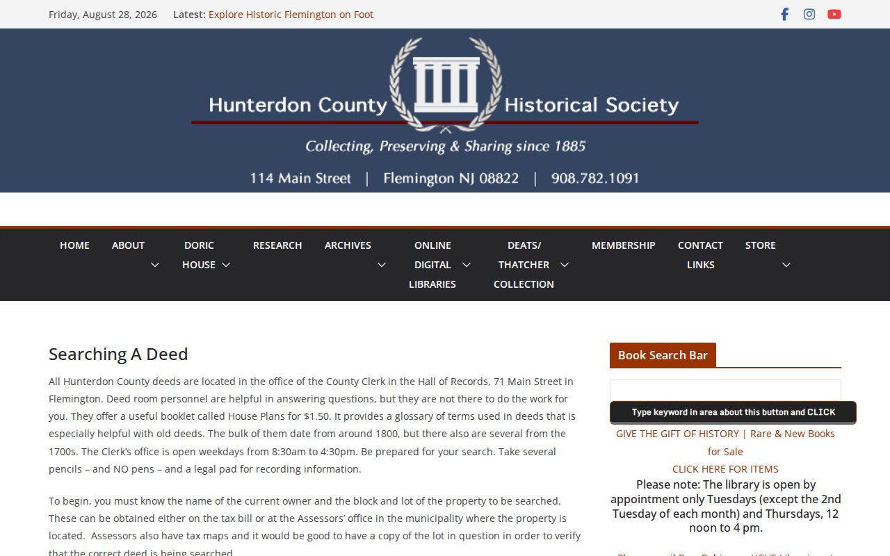
The local guide advises starting with a current owner and block and lot, then checking the tax map before the deed search.
The Clerk’s Search Room page documents its Record Room and weekday access.
The County describes its index, image, and microfilm preservation layers, which are useful when an older street record is not online.
Raritan Township Election Address Layer
New Jersey’s voter-status page is an individual status tool. It is not a public bulk street roll and it should not be used to infer a ballot choice. For a request that needs municipality or election-district output, Hunterdon County provides a form with fields for report type, municipality, district, format, delivery, party, and selected election history. The form says registered-voter lists are active voters alphabetized by municipality and election district, while the registration summary can include inactive status.
The County form requires certification against commercial or charitable solicitation under N.J.S.A. 19:31-18.1C. Email delivery is stated as free, and a printed list is stated as $0.05 per page. No election-history output should be treated as a full profile of a household, and protected-address rules can limit disclosure.
Raritan Township Postal Names
Postal geography does not draw municipal lines. Raritan Township addresses may use Flemington, Ringoes, Stockton, or Pittstown mailing labels. USPS can normalize an address through its By Address, By City and State, and Cities by ZIP modes, but it warns that a ZIP result does not confirm a person or company is at an address. The local research found no documented ZIP filter in SDL, County GIS, or the public Property Explorer description.
For a street directory result, use USPS for the mail format and then use SDL, GIS, and the tax map to establish the Raritan Township parcel. Historical work may need the legal description, farm name, adjoining owner, or a map rather than a modern postal address. Engineering’s maps and recorded plats are the local continuity bridge.
Raritan Township Street Privacy Limits
A street directory cannot prove who occupies every parcel. A tax owner may be different from a resident, a mailing address may be elsewhere, and GIS is not certified title. Current vital records are protected. Court records can be sealed or expunged. Safe at Home and Daniel’s Law protections may keep residential information from ordinary disclosure. Combining sources to work around a protected address is improper.
Hunterdon’s street records are strongest when they show the source, date, and limitation alongside the parcel fact. For a single-person question after an address trail is complete, the Raritan Township resident lookup uses separate verification records.